

My Device Configuration


Mo Map (My Map): Smart Mobility Platform


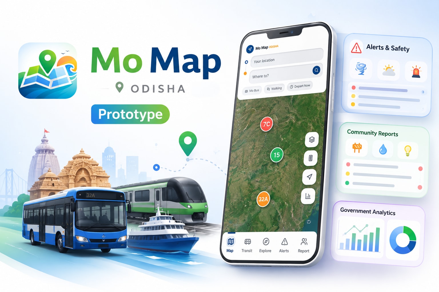
Mo Map was a concept for a unified smart mobility and civic platform designed for Odisha. The idea was to go beyond a regular navigation app and bring different parts of everyday mobility into one place.
The concept took inspiration from integrated mapping and smart mobility platforms such as Singapore's OneMap, along with similar mobility and smart-city systems in China and other parts of Asia. We wanted to explore how a similar approach could be adapted for Odisha by bringing transportation, tourism, public services, and real-time information together.
The core modules we mapped out included:
- 🗺️ Smart Navigation & Routing
- 🚌 Public Transport Intelligence & Live Tracking
- 🚕 Ride Hailing & Shared Mobility
- 💰 Official Fare Transparency
- 🤖 AI Travel Assistant
- 🏛️ Tourist Discovery
- 🚨 Citizen Reporting
-🚦 Smart Traffic Intelligence
- 🌦️ Weather & Pollution Information
- ⚠️ Disaster Alerts
- 🏛️ Government Monitoring & Analytics Dashboard
- 🌾 Rural Mobility Integration
The larger vision was to create one connected platform for how people move, explore, and access mobility information across Odisha, while also giving authorities better visibility into transportation and civic issues.
Mo Map was developed as a vibe-coded prototype and was not launched publicly. I have added screen recordings of the first prototype to the Google Drive to showcase some of the screens, interactions, and product experience we explored.
04 Mar 2026
Keywords


AI Usage
Used AI for ideation, product research, feature exploration, UX flows, and prototyping to help turn initial concept into an early working prototype.