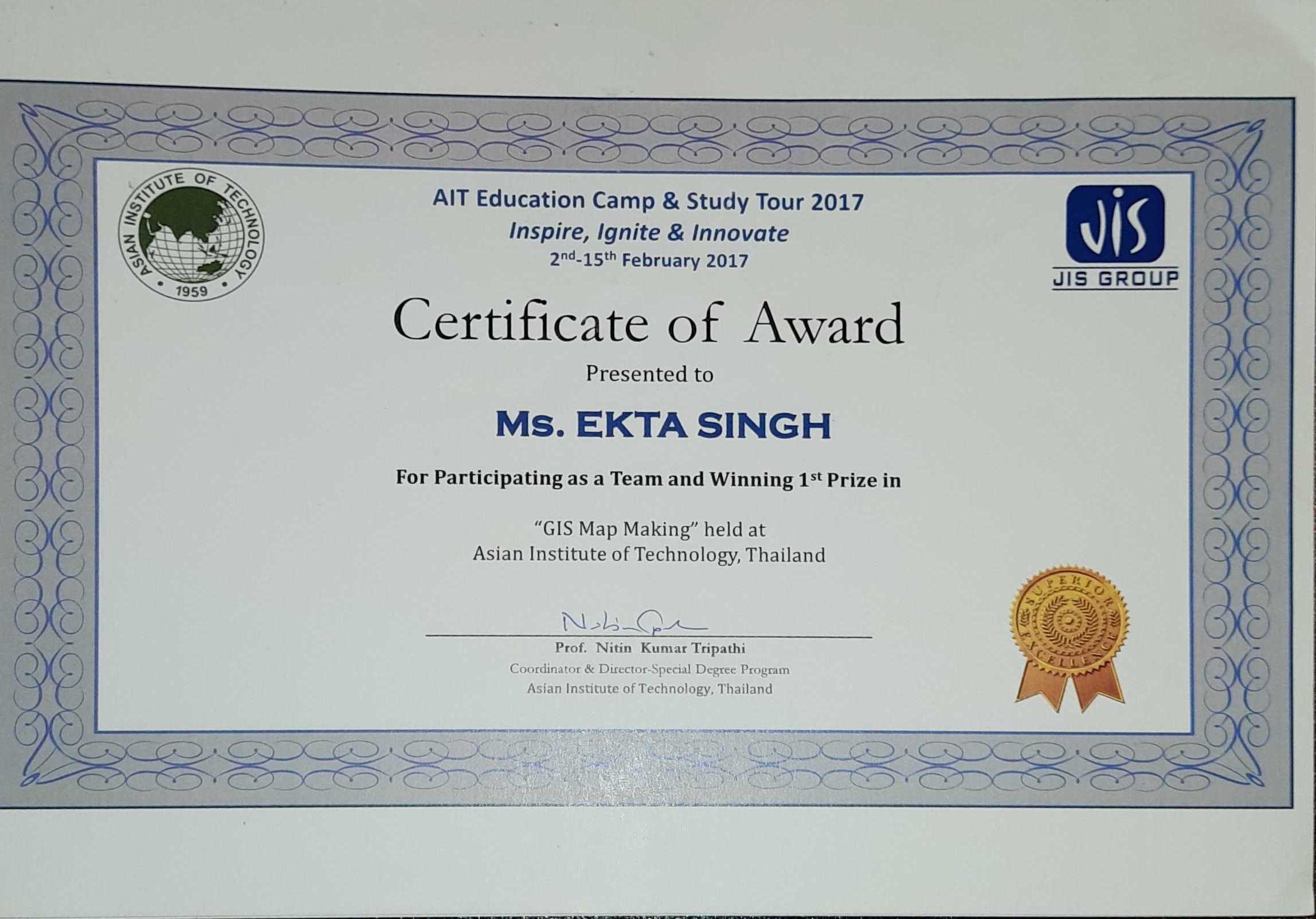
CERTIFICATE OR AWARD-FIRST PRIZE (GIS MAP MAKING)
A geographic information system (GIS) is a framework for gathering, managing, and analyzing data. Rooted in the science of geography, GIS integrates many types of data. It analyzes spatial location and organizes layers of information into visualizations using maps and 3D scenes. With this unique capability, GIS reveals deeper insights into data, such as patterns, relationships, and situations—helping users make smarter decisions.
Asian Institute of Technology ,Bangkok, thailand
15 Feb 2017


